History
A sourced timeline of the names in the records, the documents and the changes the village has seen.
A village’s book of memory
One name lives on in the official records, the other still on people’s lips. Mezirme gathers the history, culture, places and stories of Ballıkaya, each with its sources.
Malatya · Hekimhan · Ballıkaya
Traces of memory
From document to oral account, from place of pilgrimage to directions: every section of the site opens straight onto its own records.
A sourced timeline of the names in the records, the documents and the changes the village has seen.
The ocak tradition, places of pilgrimage, dede-minstrels and musical culture.
Rock outcrops, the old settlement, water and places of pilgrimage; what we know and what we are still looking for.
The essentials: the village’s name, location and population, from the old village to the new settlement.
Photographs kept with their details and permissions; oral recordings that state who told them and when.
Roads, distances, location and map links that open on your phone.
Its place on earth
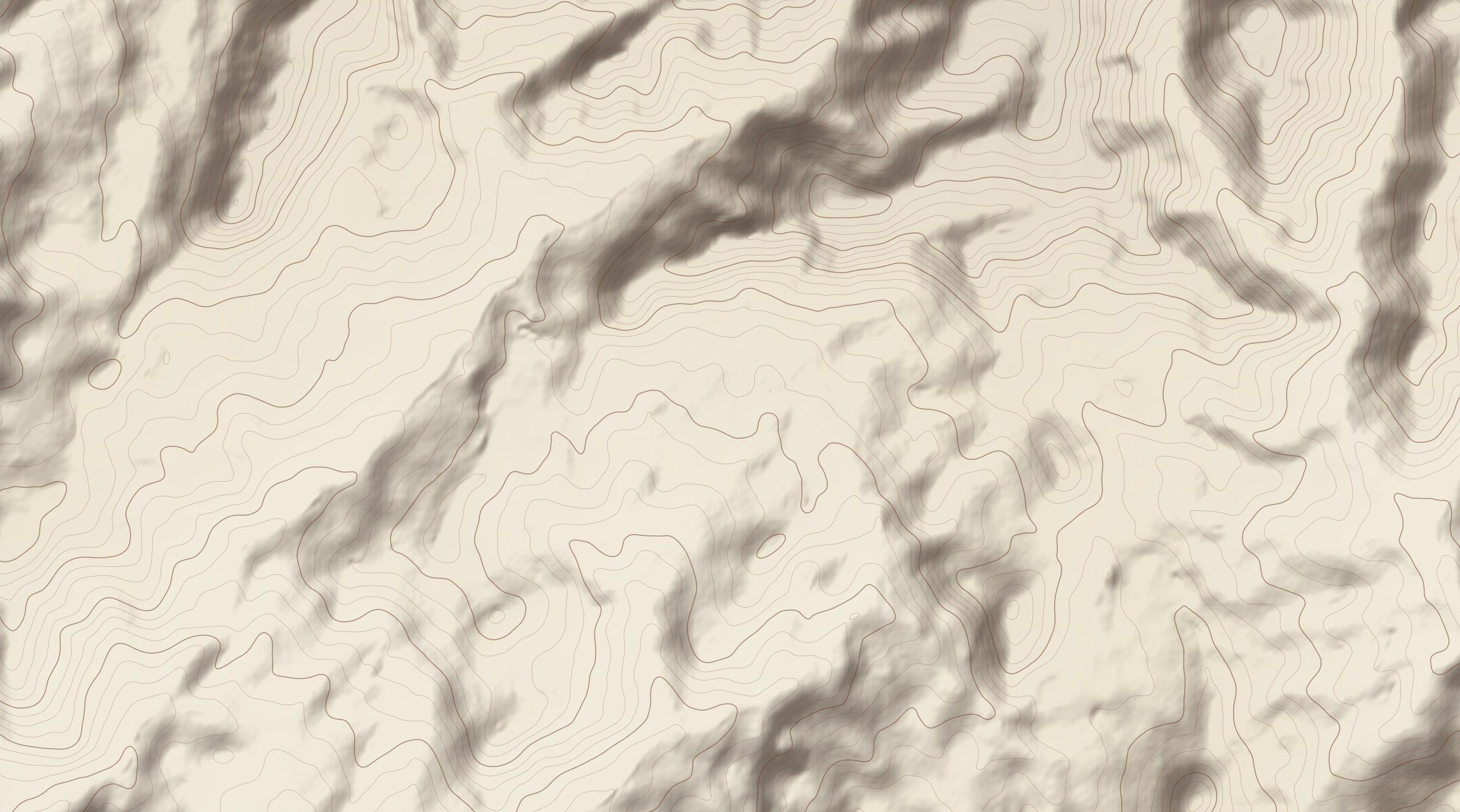
Ballıkaya lies between Hekimhan and Arguvan. The terrain map helps to read the village’s surroundings; detailed directions and location information are kept on separate pages.
Added to the book
What the information rests on
Conflicting information is not hidden; it is shown side by side with what it rests on. Editorial principles
This book grows together
Everything you send is published with your permission, your name and its date.