Distances
| From | By road | Time (by car) |
|---|---|---|
| Hekimhan centre | ~23 km | ~26 min |
| Arguvan centre | ~20 km | ~22 min |
| Malatya centre | ~80 km | ~77 min |
Distances have been calculated from OpenStreetMap road data (OSRM). Travel times vary with traffic, weather and road conditions.
Route
From Hekimhan or Arguvan
Ballıkaya lies on the Hekimhan–Arguvan provincial road (44-79). It is reached by following this road eastwards from Hekimhan or westwards from Arguvan (OSRM).
From Malatya
From Malatya city centre, head north on the D850 Malatya–Hekimhan highway; the last 20 km or so of the journey are on local roads (OSRM). We recommend following the route suggested by the map app on your phone.
Location
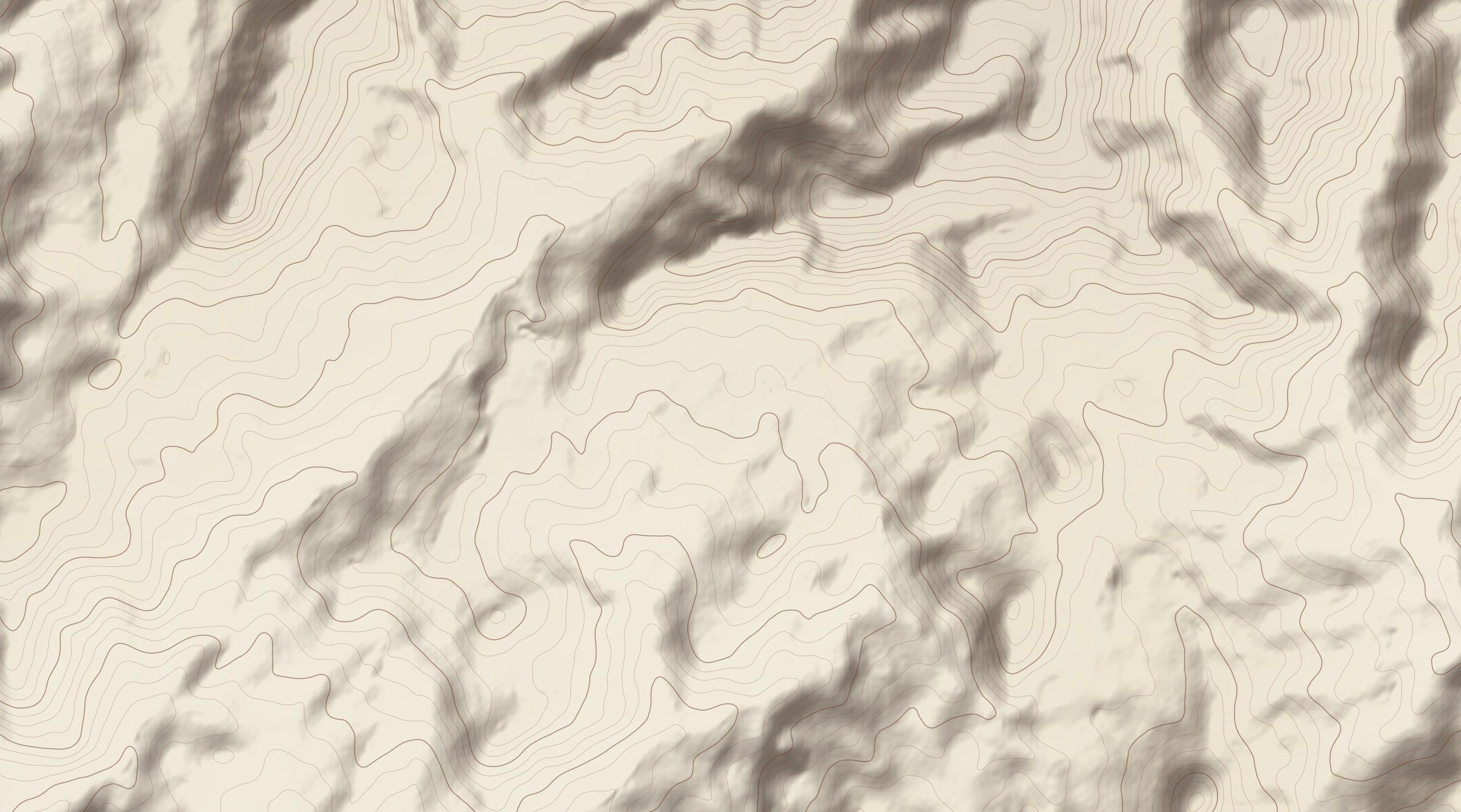
Centre of the settlement: 38.8525° N · 38.0979° E (OpenStreetMap)
Sources for this page
- Open dataProject OSRM / OpenStreetMap (accessed 2026). Road route calculation. OSRM routing engine on OpenStreetMap road data. project-osrm.org Accessed: 12 October 2026.Distances are calculated along the shortest drivable route from the district or provincial centre to the neighbourhood centre and are approximate.
- Open dataOpenStreetMap contributors (accessed 2026). Ballıkaya (node 2302771461) and surroundings. OpenStreetMap, ODbL licence. openstreetmap.org Accessed: 12 October 2026.